
New research has revealed that there is major disparity in tree cover across England, and Merseyside. Using the latest technology to examine tree numbers across England, Friends of the Earth have revealed the woeful state of the nation’s tree cover and the striking contrast in their prevalence across the country.
The analysis, carried out by mapping experts Terra Sulis on behalf of the environmental campaigners, used laser imaging to identified lone trees and street trees, for the first time. Previous research accounted only for trees in woodlands and those clustered in smaller groups.
The findings show that 43% of neighbourhoods in England have less than 10% tree canopy cover, while a whopping 84% have less than 20% coverage.
The research also found that neighbourhoods that rank lowest on the Index of Multiple Deprivation – a measure that evaluates social disadvantage in the UK – have far fewer trees than the wealthiest neighbourhoods.
But, how does Sefton compare? Here, we reveal the Sefton neighbourhoods with the highest tree cover.
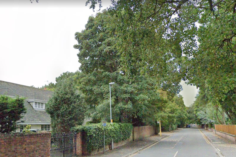
1. Formby West & Freshfield North
Formby West & Freshfield North had the highest tree canopy in Sefton, with 24.7% of the area covered by trees. Photo: Google Street View
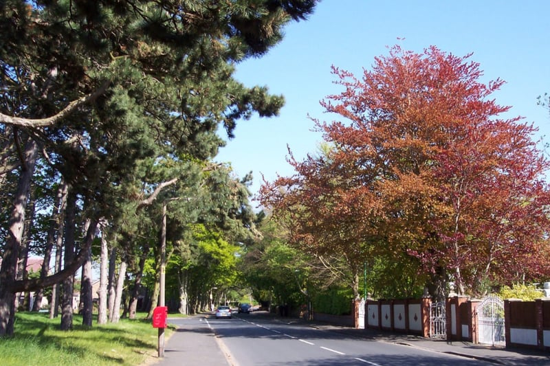
2. Formby Central & Freshfield South
Formby Central & Freshfield South had the second highest tree canopy in Sefton, with 15.5% of the area covered by trees. Photo: Raymond Knapman via Wikimedia
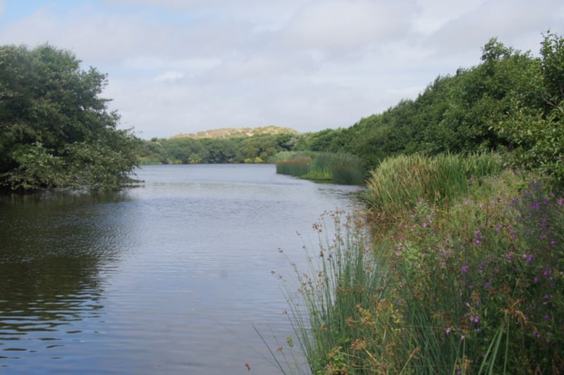
3. Ainsdale West
Ainsdale West had the third highest tree canopy in Sefton, with 14.1% of the area covered by trees. Photo: Mike Pennington via Wikimedia
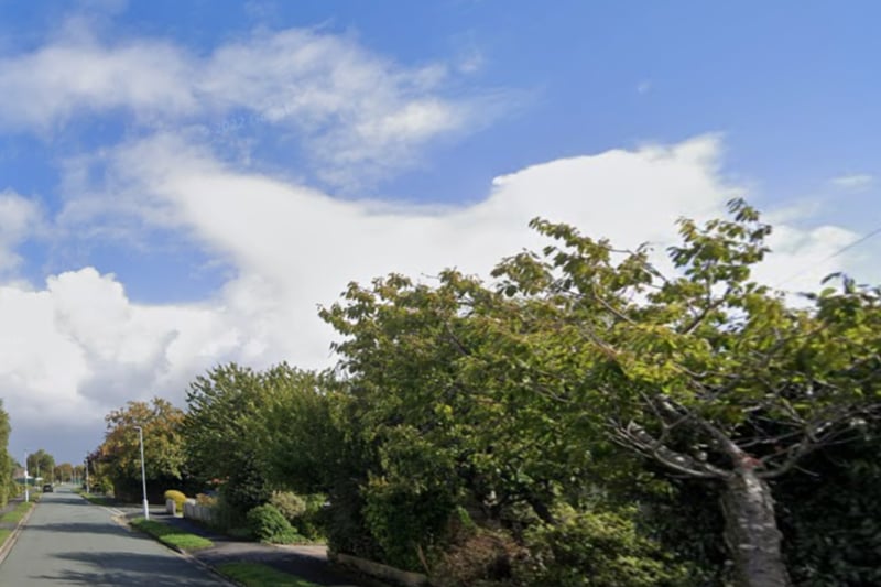
4. Formby South West
Formby South West had the fourth highest tree canopy in Sefton, with 13.8% of the area covered by trees. Photo: Google