
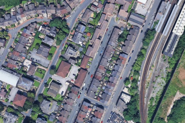


According to the latest Housing, Communities & Local Government (MHCLG), these are the 13 neighbourhoods on the Wirral with the highest levels of deprivation.
The 2025 English Indices of Deprivation report (IoD25) measure relative levels of deprivation across the country.
The MHCLG clarifies that while this can be used to ‘identify the most deprived small areas’, they do not suggest that every one living in an area is struggling, or that those in less deprived areas are wealthy.
We have explored the data via Local Insight and uncovered the 13 most deprived Wirral neighbourhoods based on their IMD score. We have ranked the areas as MSOAs (Middle Layer Super Output areas), rather than LSOAs (Lower Layer Super Output area) as they are larger and easier for readers to understand on a neighbourhood level.
Take a look at the gallery below to see 13 of the ‘most deprived’ neighbourhoods on the Wirral, with higher IMD scores indicating higher levels of deprivation.
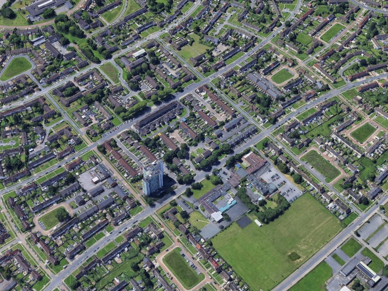
9. Woodchurch
IMD score of 45.72. | Google Earth/LDRS
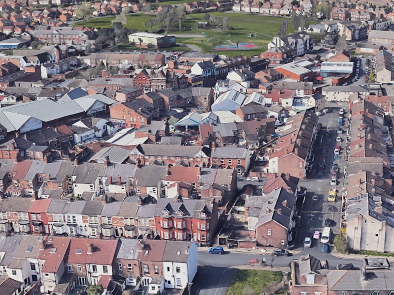
10. Bebington New Ferry
IMD score of 44.44. | Google Earth
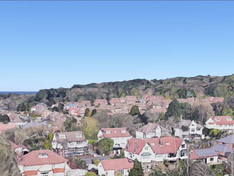
11. Noctorum North & Upton East
IMD score of 40.16. | Google Earth
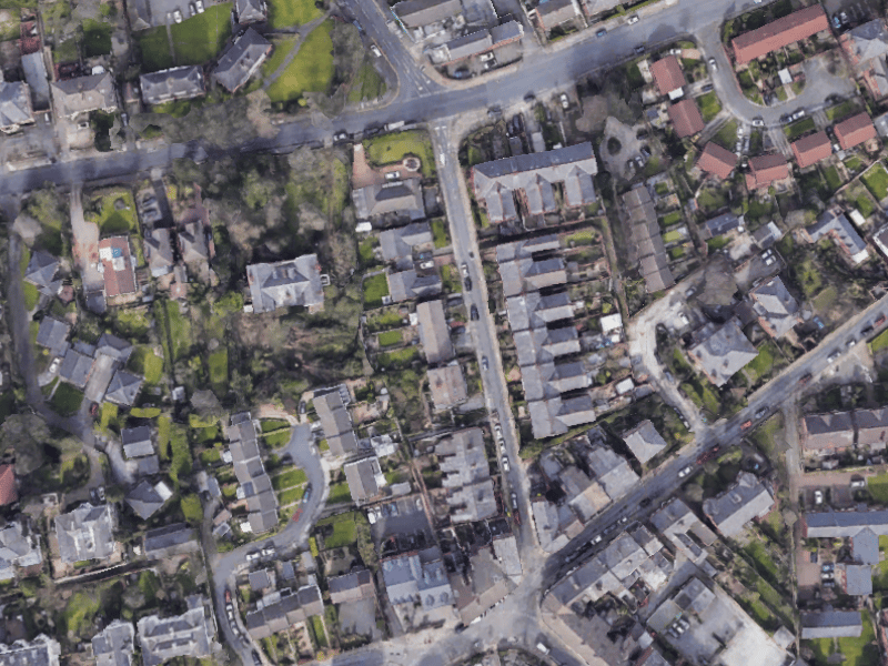
12. Oxton South
IMD score of 34.03. | Google Earth