
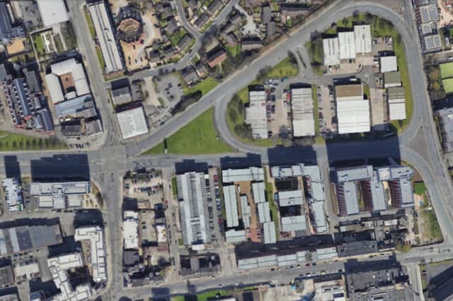


The Police UK data breaks down the total incidents of anti-social behaviour (ASB) in the city into specific neighbourhoods.
The figures are for the period from December 2024 to November 2025 and are based on the total number of reported neighbourhood-level incidents of ASB, at a rate per 1,000 residents.
- Get the biggest stories from Merseyside in your inbox with Liverpool World’s free newsletter emails.
Anti-social behaviour can refer to a variety incidents, from abandoning vehicles and general nuisance behaviour to trespassing or the misuse of fireworks. The data referred to within this article refers to ASB incidents reported to the police.
The city of Liverpool is divided into 60 Middle Layer Super Output Areas (MSOAs) - or neighbourhoods - and the figures refer to where the incidents occurred, not where they were reported from.
We have listed the 13 neighbourhoods in the city with the largest number of reported incidents of anti-social behaviour in the gallery below. All photos are for illustrative purposes only and figures do not refer to any individual buildings or streets.
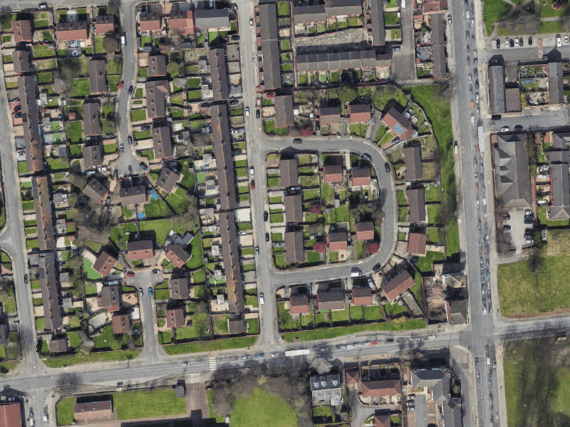
5. Everton West
In the Everton West area, there were 22 reported incidents of ASB per 1,000 households. | Google Earth
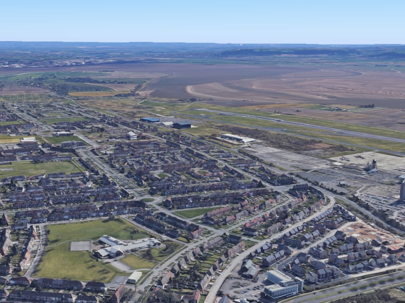
6. Speke West & Airport
In the Speke West & Airport area, there were 21.7 reported incidents of ASB per 1,000 households. | Google
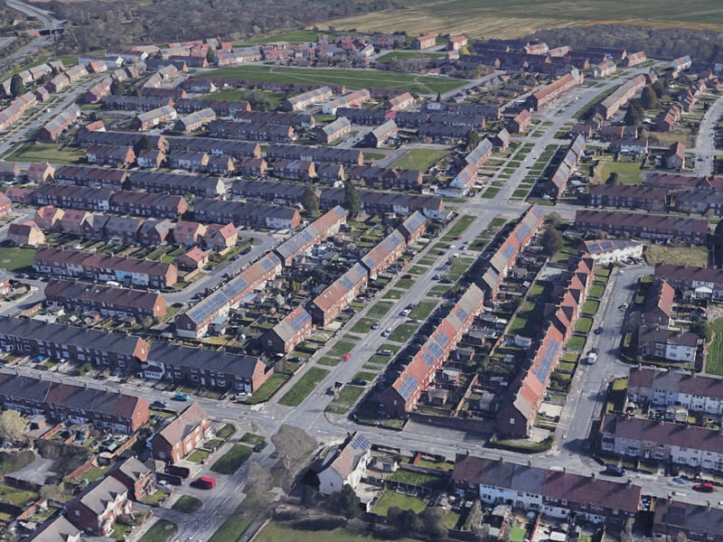
7. Speke East
In the Speke East area, there were 18.7 reported incidents of ASB per 1,000 households. | Google Earth
8. Garston
In the Garston area, there were 16.6 reported incidents of ASB per 1,000 households. | Google Street View