
Full list: The 18 Merseyside roads getting new 20mph speed limits to put drivers off using them as rat-runs
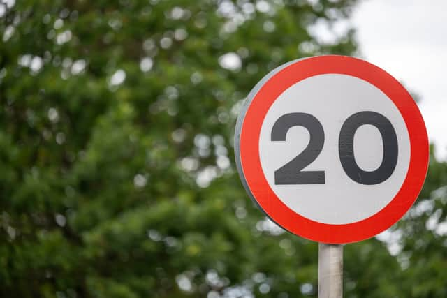
Speed limits are set to be reduced to 20mph in parts of one Merseyside town, according to a Sefton Council report, which aims to promote ‘traffic calming’ and increase neighbourhood safety. The council has identified 18 areas of Southport which will be subject to the reduction in speed limits, including Bispham Road and Old Park Lane.
A decision on the plans will be made next week (February 2), and means these parts of Southport will join more than 1,700 roads approved for the reduced speed limits across the Liverpool City Region. Sefton Council are introducing the scheme in Norwood ward, adding: “We want to make it safer for everyone to move around Norwood by slowing the speed of traffic and discouraging drivers to cut through the residential area of Norwood.
“We want drivers to stay more on the main routes, such as Norwood Road, Norwood Avenue and Roe Lane. The Norwood Mitigation scheme is designed to complement the Southport Eastern Access Improvement scheme, which is a bigger scheme that covers Eastbank Street / Bridge Street to Kew Roundabout, and also connects to Foul Lane and Meols Cop Station.”

The Southport Eastern Access Improvement Scheme is a Sefton Council project, funded by the Liverpool City Region, to improve transport links and infrastructure on the eastern approaches to Southport. The £16.8m scheme focuses on upgrading junctions and creating active travel routes for walking and cycling along key roads.
As part of the new layout, the local authority said the speed reduction is central to its ‘mitigation’ plans to address changes in traffic patterns resulting from the reopening of Foul Lane. These changes may affect traffic flows in and around Norwood, according to the council, which the Norwood Mitigation scheme is designed to address, making it easier for pedestrians, cyclists and public transport users to travel around.
The council reports states: “We have worked with Norwood Ward Members, and our Neighbourhoods Teams to develop ideas for improvement in Norwood. We felt that it is important to develop these proposals in collaboration with the community and we have already held two workshops with members of the community in Spring 2024.
“From this early engagement, we have been able to broaden our understanding of the issues in the area and discuss potential solutions. Throughout the process we have taken on board feedback from the community and this has been fed into the designs for improvements which are shown in the online consultation.
“We have also worked with officers within Sefton Council and at Liverpool City Region Combined Authority to ensure the scheme considers other things like existing bus routes. As part of our wider engagement on this project we are also talking directly to the local schools and helping to support them with their wider transport challenges.”
The local authority noted concerns from the Norwood community which said there have been ‘speeding issues’ on Bispham Road, Canning Road, Wennington Road, Cobden Road, Crowland Street, Roe Lane, High Park Place and Old Park Lane. As a result, a reduction in the speed limit in parts of Norwood, from 30mph to 20mph were, the council said, ‘generally supported’.
Sefton Council’s Traffic Regulation Order was formally proposed by the Cabinet Member for Housing and Highways on January 23, and confirmation is sought on February 2. The plans include a 20mph speed limit to be introduced on the following areas:
- Argameols Close, Southport – its entire length
- Bispham Road, Southport Norwood Road to Old Park Lane
- Butts Lane, Southport – its entire length
- Canning Road, Southport Cobden Road to Crowland Street
- Cobden Road, Southport – its entire length
- Cobden Road, (cul-de-sac containing Property Nos. 2-32) Southport – its entire length
- Cobden Road, (cul-de-sac containing Property Nos. 56-88) Southport – its entire length
- Crowland Close, Southport – its entire length
- Crowland Street, Southport Butts Lane to Russell Road
- Fine Jane’s Way, Southport – its entire length
- Fosters Close, Southport – its entire length
- Hart Street, Southport Rose Hill to Tithebarn Road
- Old Links Close, Southport – its entire length
- Peel Street, Southport – its entire length
- Pitts House Lane, Southport Moss Lane to Fosters Close
- Russell Road, Southport Cobden Road to Crowland Street
- Tithebarn Road, Southport – its entire length
- Wennington Road, Southport From a point 100m south of Cobden Road to Crowland Street