Storm Barra set to lash UK with snow and strong winds - will it hit Liverpool?

and live on Freeview channel 276
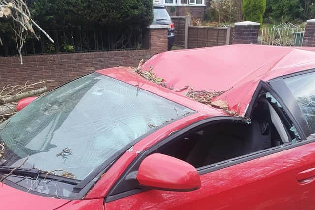
More than a week after Storm Arwen battered Britain, leaving thousands without power, Storm Barra is on the horizon and is set to hit Liverpool on Tuesday.
The Met Office has warned that the storm could bring incredibly strong gales, as well as the potential for snowfall with at least two to five centimeters across England and Scotland.
Advertisement
Hide AdAdvertisement
Hide AdStorm Barra - the second named storm of winter - is a deep area of low pressure that is emerging from the Atlantic and is also set to bring heavy rainfall.
Frank Saunders, Chief Meteorologist at the Met Office, said: “Strong winds arriving across the west through Tuesday morning, will spread inland and reach eastern areas through the afternoon and early evening.
“Gusts of 45-50 mph are expected widely, with 60-70 mph in exposed coastal locations. The strongest winds will ease across inland areas into the overnight period.”
Loading....
Deputy Chief Meteorologist, Brent Walker said: “A band of rain will turn to snow across northern England and Scotland through Tuesday.
Advertisement
Hide AdAdvertisement
Hide Ad“Two to five cm of snow is expected to accumulate quite widely across the warning area, but locally this could reach ten cm, particularly in parts of the Southern Uplands and Highlands.”

He added: “Strong south-easterly winds will also lead to snow drifting in places, particularly over the highest routes, adding to poor visibilities.”
The warnings are in force on Tuesday from between 09:00 and midnight, with areas towards the southwest hit with a yellow warning for wind on Wednesday too.
But will the storm cause chaos in Liverpool?
Met Office two-day weather forecast for Liverpool (Merseyside)
Tuesday
Advertisement
Hide AdAdvertisement
Hide AdThe day is expected to start quite chilly, dry and cloudy in the morning up until around 11:00, where it will become increasingly miserable.
Rain will start to hit the city as Storm Barra arrives from the west, becoming increasingly windy with outbreaks of heavy rain and blustery showers.
There is a yellow weather warning in place with winds expected to reach up to 46mph.
It is expected to be at its most miserable in the early afternoon between 11:00 and 14:00.
Advertisement
Hide AdAdvertisement
Hide AdThe end of the day is forecast to be much drier with slightly more humid temperatures around 6℃ expected heading towards nighttime.
Though there is a chance for rain at 22:00.
Highs of 6℃ and lows of 2℃ have been forecast for Bristol.
Wednesday
The day is expected to start with a little rain but the day will be largely dry with cloudy skies.
This period will last from midnight to 17:00.
There is a small chance that a brief shower of rain could hit Liverpool at 18:00.
Conditions are forecast to remain dry for the rest of the day with slightly mild temperatures of between 6-7℃ heading towards night time.
Highs of 7℃ and lows of 5℃ have been forecast for Bristol.
Source: The Met Office