

The data shows the 12 month total (December 2023 - November 2024) of neighbourhood-level incidents of vehicle crime, as a rate per 1,000 residents. Vehicle crime is defined from the National Crime Recording System and includes theft of a vehicle, vehicle damage and theft from a vehicle.
The rankings have been determined using the latest figures from Local Insight, which uses Merseyside Police’s crime numbers to break down vehicle crimes in the city into specific neighbourhoods.
The city of Liverpool is divided into 60 Middle Layer Super Output Areas (MSOAs) - or neighbourhoods - and the figures refer to where the crimes occurred, not where they were reported from.
We have listed the 17 neighbourhoods in the city with the largest number of reported vehicle crimes in the gallery below. All photos are for illustrative purposes only and figures do not refer to any individual buildings, vehicles or streets.
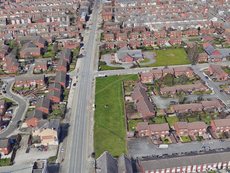
1. Kirkdale North
In the Kirkdale North area, there were 15.3 vehicle crime offences per 1,000 residents. | Google Earth

2. Pier Head
In the Pier Head area, there were 14.0 vehicle crime offences per 1,000 residents. | 4kclips - stock.adobe.com
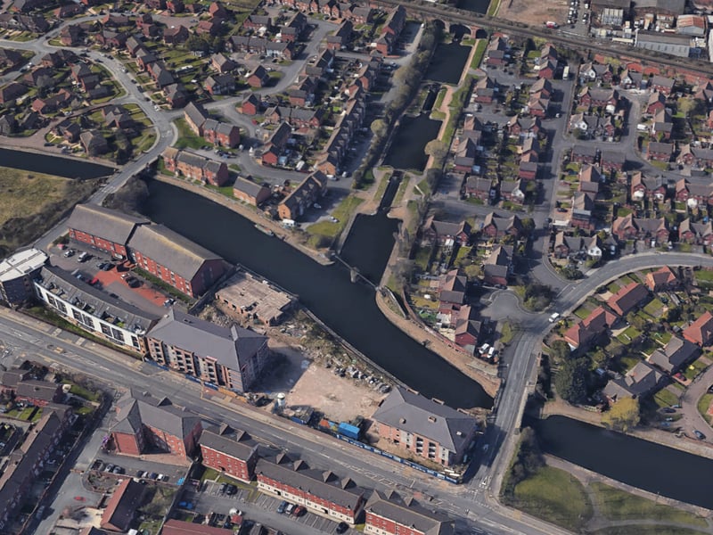
3. Kirkdale South
In the Kirkdale South area, there were 13.3 vehicle crime offences per 1,000 residents. | Google Earth
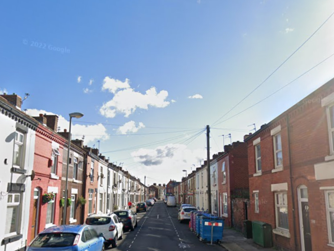
4. Walton Hall
In the Walton Hall area, there were 10.3 vehicle crime offences per 1,000 residents. | Google Street View