Liverpool weather - will there be a heatwave in August? What the Met Office says

This article contains affiliate links. We may earn a small commission on items purchased through this article, but that does not affect our editorial judgement.
and live on Freeview channel 276
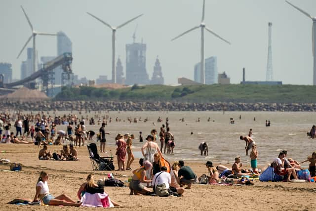
Having already sweltered during the hottest day of the year on UK record, is Liverpool set to once again experience a bout of uncomfortably warm temperatures?
The Met Office has forecast another eight days of hot weather across two different periods in August, with the long range forecast stating “there is still the chance of some periods of organised rain in the north at times, but generally the dry weather is likely to persist across the country.”
Advertisement
Hide AdAdvertisement
Hide AdWill Liverpool experience another heatwave in August 2022?
The good news is that temperatures throughout August will not reach the sweltering heights of 35.5°C recorded in July in Liverpool.
Temperatures look to be averaging around 20°C, which is usual for this time of year according to the Met Office.
“The settled weather from the start of August is expected to continue at the start of this period, however, occasional bouts of more unsettled weather are likely from roughly the middle of the month” the Met Office’s UK long-range weather forecast predicts.
“These increase the likelihood of thunderstorms.”
So expect some downpours around the northwest in the second half of August.
Advertisement
Hide AdAdvertisement
Hide AdWhen is the heatwave expected to hit the UK?

Tom Morgan, a meteorologist for the Met Office, spoke to the Express to confirm that while Liverpool may not see a heatwave, some parts of the UK will in August.
Though they will be nothing as hot as what was experienced in July, with the hottest temperatures reaching around 30-32°C.
Temperatures are estimated to get hotter this week on a “day by day basis” with peak temperatures expected to arrive around August 12.
The concern meteorologists have is how dry the weather will be, which is still causing problems across the country including hose pipe bans and calls for a ban on single-use barbeques.
What is the Met Office weather forecast for Liverpool the rest of this week?
The Met Office has forecasted for Liverpool:
Advertisement
Hide AdAdvertisement
Hide Ad- Thursday - Sunny intervals changing to cloudy by late morning (High: 17c/Low: 14c)
- Friday - Sunny intervals (High: 17c/Low: 14c)
- Saturday - Cloudy changing to sunny intervals by late morning (High: 18c/Low: 15c)
- Sunday - Sunny (High: 19c/Low: 14c)
- Monday - Sunny (High: 22c/Low: 15c)
- Tuesday - Sunny (High: 23c/Low: 16c)
What is causing the unusually hot weather?
You may have heard the term “heat dome” being used to explain the heat that the UK faced last month. It’s also one of the causes the 2022_European_heat_waves">current cause for the heatwave across parts of Europe too.

A heat dome occurs when a persistent region of high pressure traps heat over an area. Typically, heat domes are tied to the behaviour of the jet stream, a band of fast winds high in the atmosphere that generally runs west to east.
Normally, the jet stream has a wavelike pattern, meandering north and then south and then north again. When these meanders in the jet stream become bigger, they move slower and can become stationary. That’s when heat domes can occur.
This most recent heat dome can be traced to the unusually warm winds coming from North Africa.
Comment Guidelines
National World encourages reader discussion on our stories. User feedback, insights and back-and-forth exchanges add a rich layer of context to reporting. Please review our Community Guidelines before commenting.